Geography
South Orange County Visual Atlas
Understand where each market sits, how the region connects, and how the city-level research breaks into communities, villages and tracts. The map is an orientation tool. The research pages remain the source for the deeper market intelligence.
Each city market is placed by its approximate centre point for orientation only. No city, community or tract boundary is drawn, because verified boundary geography is not yet stored in the research database.
City markets
City Market
San Clemente
City Intelligence Published
You can't really understand San Clemente through a single citywide median price. The residential market runs from historic coastal streets and custom beach neighborhoods out to hillside view communities, established suburban tracts, and large master-planned developments like Forster Ranch and Talega. This guide breaks down how all those pieces fit together.
Geographic structure
9 communities
Where it sits
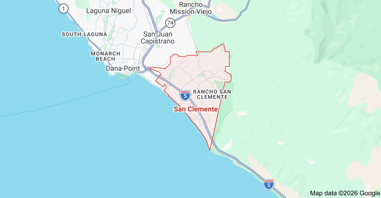
Inside the market
San Clemente Color-Coded Subdivision Map
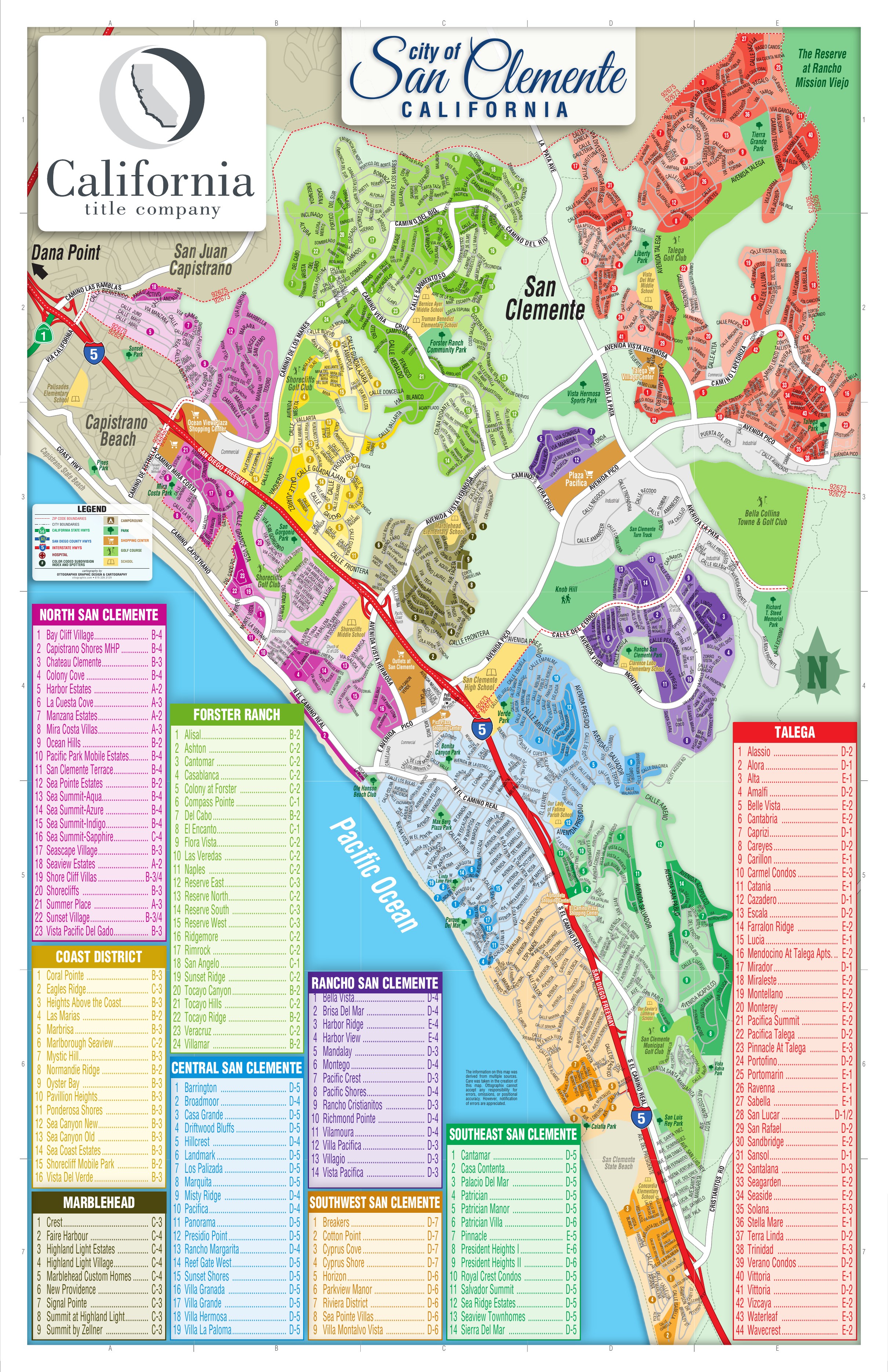
Inside San Clemente
These areas are listed from the research hierarchy. They are not drawn on the map, because no verified boundary geography is stored for them.
Communities (9)
- North San ClementeCommunity · 23
- TalegaCommunity · 44
- Coast DistrictCommunity · 16
- MarbleheadCommunity · 9
- Forster RanchCommunity · 24
- Rancho San ClementeCommunity · 14
- Central San ClementeCommunity · 19
- Southeast San ClementeCommunity · 14
- Southwest San ClementeCommunity · 9
Local market terminology
Names in common local use that are not canonical subdivisions of San Clemente.
- Southwest San Clemente (Local Market Term)
- Downtown / Avenida Del Mar
- Pier Bowl
- North Beach
- Shorecliffs (Local Market Term)
- Sea Summit / Marblehead Coastal
- T-Street
- Riviera