Geography
South Orange County Visual Atlas
Understand where each market sits, how the region connects, and how the city-level research breaks into communities, villages and tracts. The map is an orientation tool. The research pages remain the source for the deeper market intelligence.
Each city market is placed by its approximate centre point for orientation only. No city, community or tract boundary is drawn, because verified boundary geography is not yet stored in the research database.
City markets
City Market
Dana Point
City Intelligence Published
A coastal city where the details matter. Dana Point isn't just one housing market. It spans historic hillside neighborhoods, homes directly on the sand, established production communities, resort-oriented gated neighborhoods, harbor-view residences, coastal condominiums, and some of Southern California's most significant luxury enclaves. The real differences are usually much more local than the city name itself: community, street, elevation, view type, beach access, road exposure, lot, floor plan, and housing era.
Geographic structure
6 communities
Where it sits
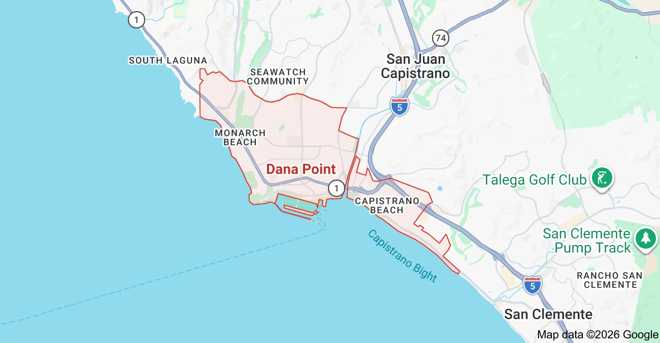
Inside the market
Dana Point Color-Coded Subdivision Map
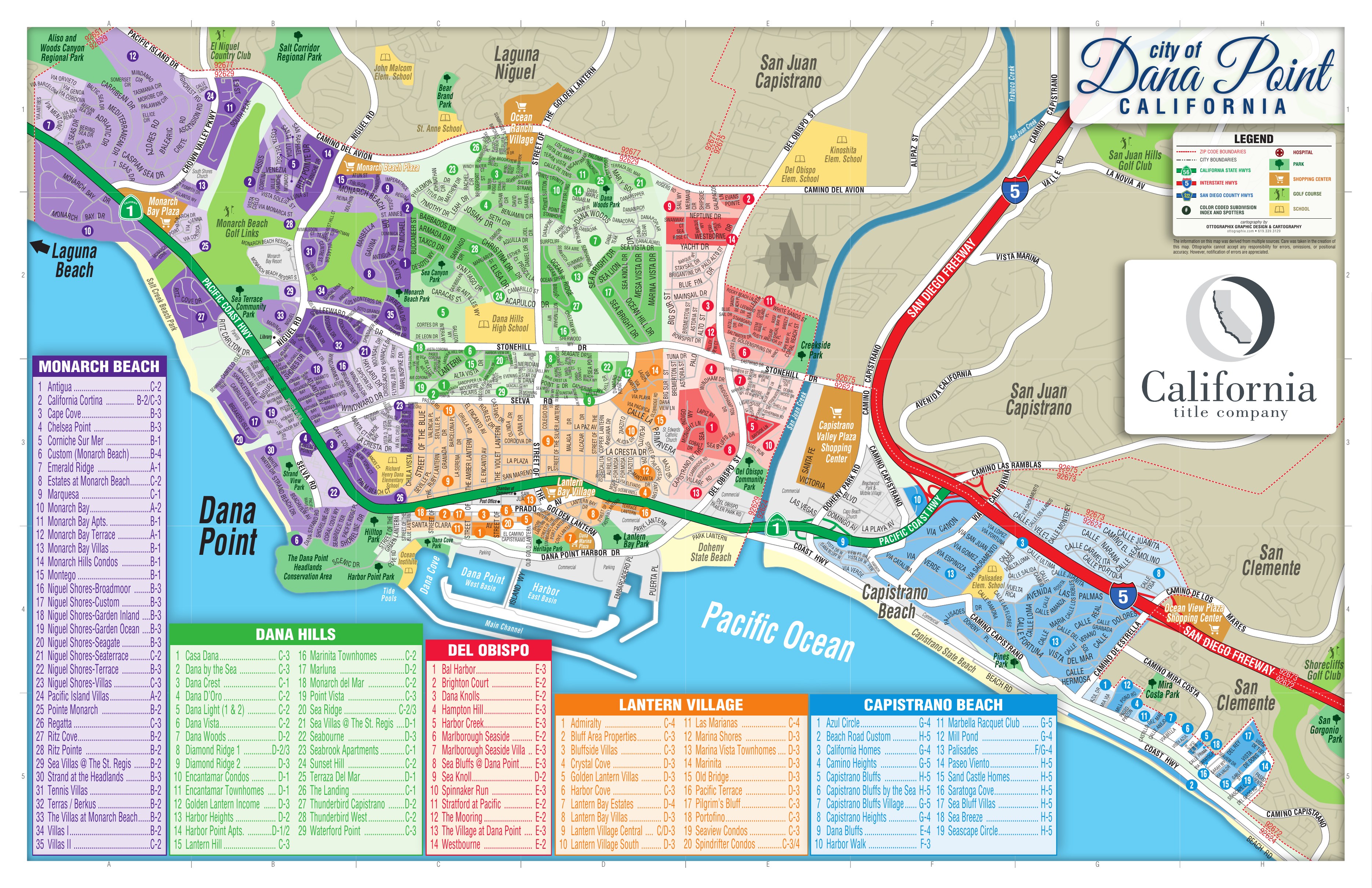
Inside Dana Point
These areas are listed from the research hierarchy. They are not drawn on the map, because no verified boundary geography is stored for them.
Communities (6)
- Monarch BeachCommunity · 19
- Dana Point HeadlandsCommunity · 1
- Lantern VillageCommunity · 18
- Dana HillsCommunity · 25
- Del Obispo / DohenyCommunity · 16
- Capistrano BeachCommunity · 19