Geography
South Orange County Visual Atlas
Understand where each market sits, how the region connects, and how the city-level research breaks into communities, villages and tracts. The map is an orientation tool. The research pages remain the source for the deeper market intelligence.
Each city market is placed by its approximate centre point for orientation only. No city, community or tract boundary is drawn, because verified boundary geography is not yet stored in the research database.
City markets
City Market
Coto de Caza
City Intelligence Published
Coto de Caza is one gated identity holding several different housing markets. Early Village custom homes, first generation production tracts, later executive production, attached product, hillside custom homes and multi acre equestrian estates all sit behind the same gates. The tract and housing generation tell you what to compare first. Usable land, topography, golf and open space relationship, gate position, association structure and effective age tell you what the property actually is.
Technical designation: Coto de Caza is an unincorporated community in Orange County. It is treated as a city-level market within this platform because that reflects common South Orange County real estate usage and market-search behavior.
Geographic structure
2 communities · 57 tracts
Where it sits
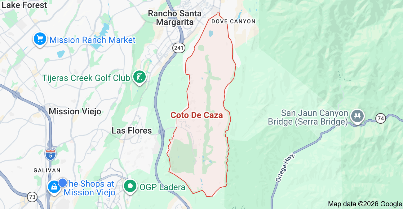
Inside the market
Coto de Caza Subdivision Map
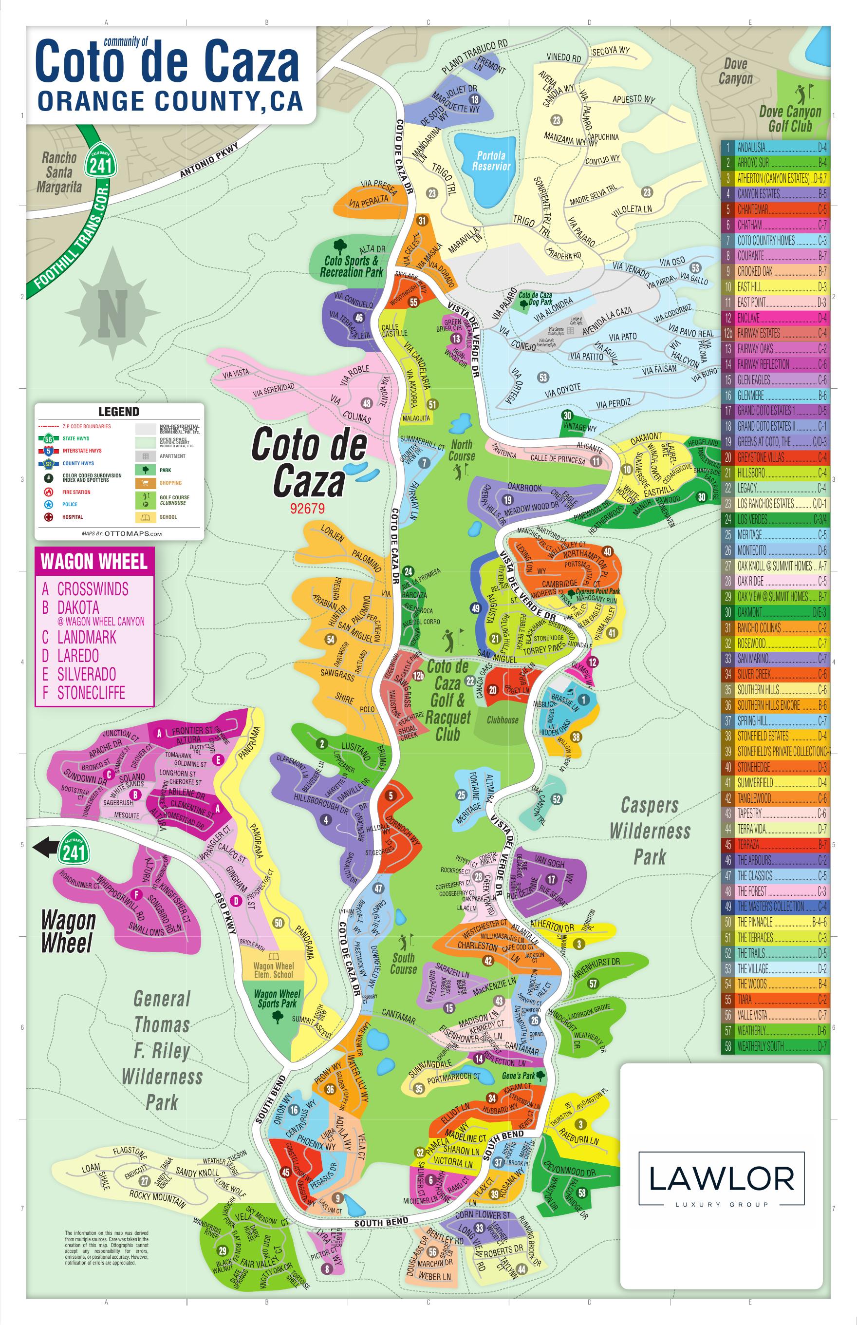
Inside Coto de Caza
These areas are listed from the research hierarchy. They are not drawn on the map, because no verified boundary geography is stored for them.
Communities (2)
- The VillageCommunity
- Los Ranchos EstatesCommunity
Tracts (57)
- AndalusiaTract
- Arroyo SurTract
- AthertonTract
- Canyon EstatesTract
- ChantemarTract
- ChathamTract
- Coto Country HomesTract
- CouranteTract