Geography
South Orange County Visual Atlas
Understand where each market sits, how the region connects, and how the city-level research breaks into communities, villages and tracts. The map is an orientation tool. The research pages remain the source for the deeper market intelligence.
Each city market is placed by its approximate centre point for orientation only. No city, community or tract boundary is drawn, because verified boundary geography is not yet stored in the research database.
City markets
City Market
San Juan Capistrano
City Intelligence Published
San Juan Capistrano is one of the least uniform residential markets in South Orange County. A historic adobe near the Mission, a guard-gated Hunt Club estate, a Marbella golf home, an attached Capistrano Villas unit, a manufactured-home space off Del Obispo, and a 2010s Whispering Hills view lot can share a city name and almost nothing else. This City V1 page breaks the city down into ten analytical market systems so an agent can identify which San Juan Capistrano market a property actually belongs to before comparing it to anything.
Geographic structure
10 communities
Where it sits
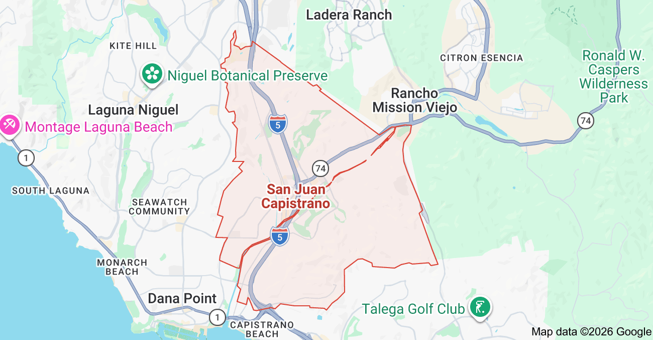
Inside the market
San Juan Capistrano Color-Coded Subdivision Map
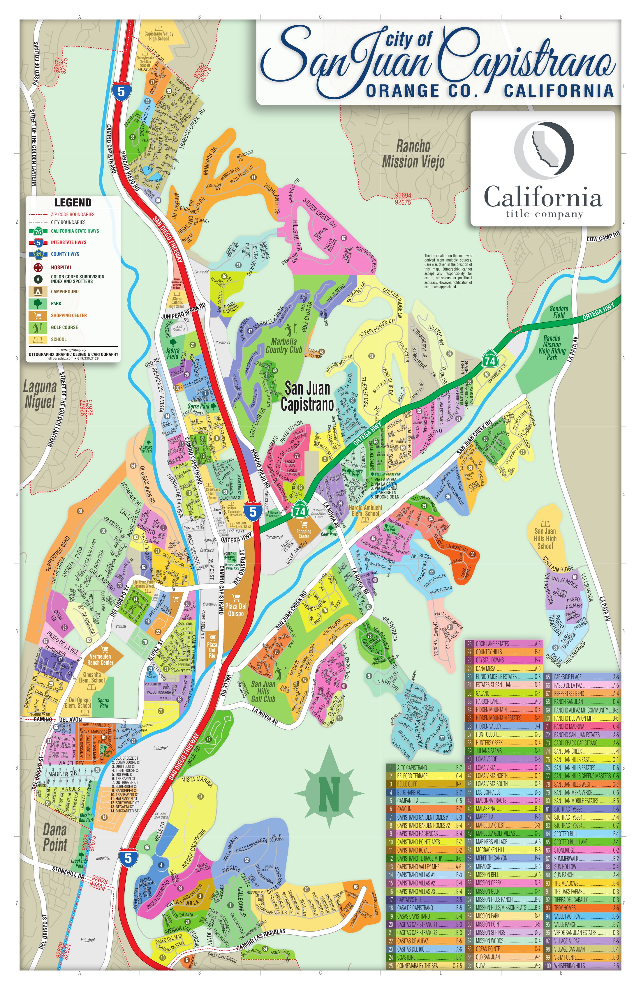
Inside San Juan Capistrano
These areas are listed from the research hierarchy. They are not drawn on the map, because no verified boundary geography is stored for them.
Communities (10)
- Historic Core / Los Rios / Mission HillCommunity · 9
- North Camino Capistrano / Trabuco / Northwest Open SpaceCommunity · 15
- Western Hills / Peppertree Bend / Custom AcreageCommunity · 3
- Del Obispo / Alipaz / Agricultural ValleyCommunity · 19
- Central San Juan Hills / Golf CorridorCommunity · 16
- Lower Ortega / Hunt Club / Mature Estate CorridorCommunity · 7
- Upper Ortega / Rancho San Juan / Whispering Hills / MiradorCommunity · 10
- La Novia / Forster Canyon / San Juan MeadowsCommunity · 7
- Southwestern Coastal Slope / Meredith Canyon / ConnemaraCommunity · 12
- Marbella / South Rancho Viejo Golf LuxuryCommunity · 4