Geography
South Orange County Visual Atlas
Understand where each market sits, how the region connects, and how the city-level research breaks into communities, villages and tracts. The map is an orientation tool. The research pages remain the source for the deeper market intelligence.
Each city market is placed by its approximate centre point for orientation only. No city, community or tract boundary is drawn, because verified boundary geography is not yet stored in the research database.
City markets
City Market
Rancho Mission Viejo
City Intelligence Published
Rancho Mission Viejo is a still-evolving master-planned market organized around four villages: Sendero, Esencia, Rienda, and Gavilán Ridge. Each has materially different development generations, builder neighborhoods, ownership formats, age-qualified product, association layers, and special-tax structures. Two homes sharing the exact same Rancho Mission Viejo mailing address can belong to completely different competitive markets.
Technical designation: Rancho Mission Viejo is an unincorporated master-planned community in Orange County. It is treated as a city-level market within this platform because that reflects common South Orange County real estate usage and market-search behavior.
Geographic structure
4 villages
Where it sits
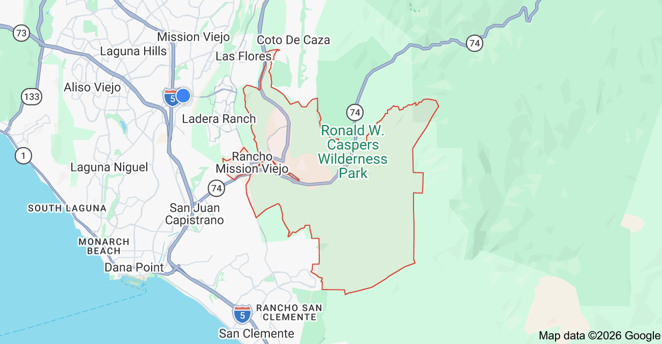
Inside the market
Rancho Mission Viejo Color-Coded Subdivision Map
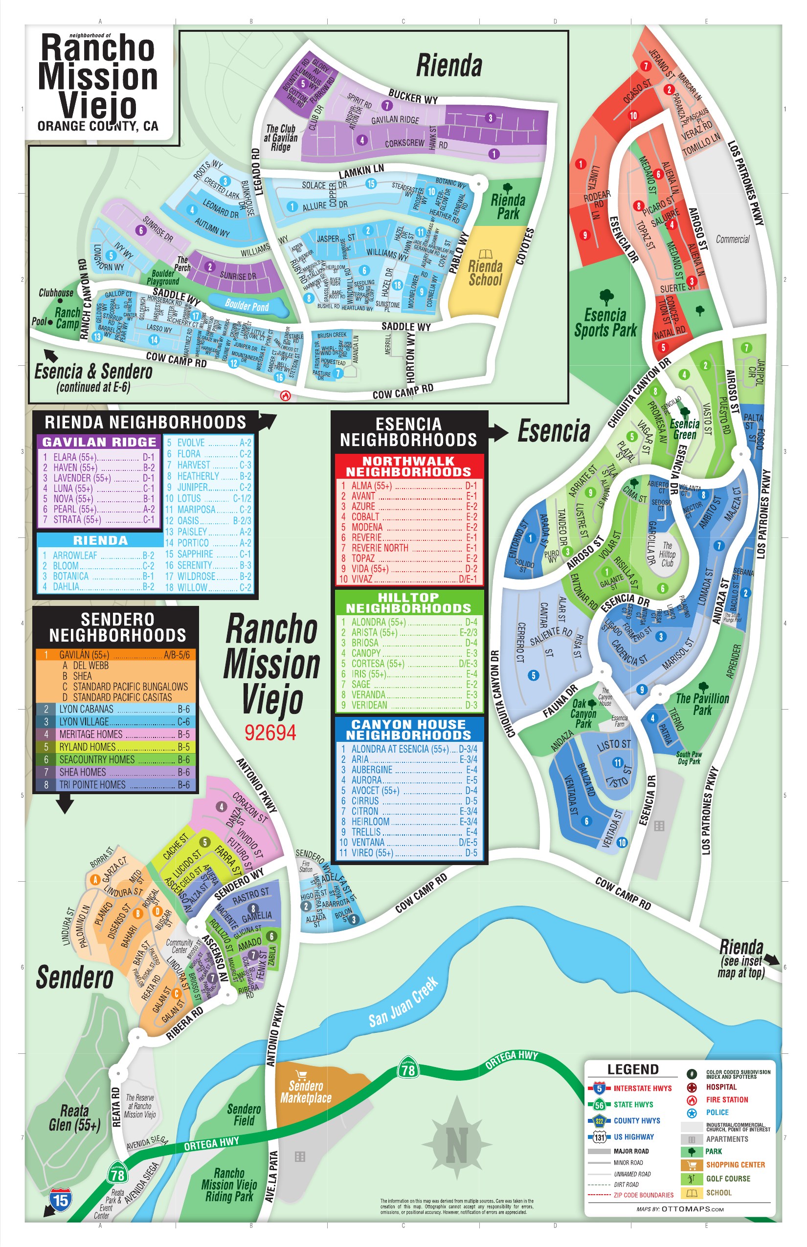
Inside Rancho Mission Viejo
These areas are listed from the research hierarchy. They are not drawn on the map, because no verified boundary geography is stored for them.
Villages (4)
- SenderoVillage · 11
- EsenciaVillage · 29
- RiendaVillage · 23
- Gavilán RidgeVillage · 9