Geography
South Orange County Visual Atlas
Understand where each market sits, how the region connects, and how the city-level research breaks into communities, villages and tracts. The map is an orientation tool. The research pages remain the source for the deeper market intelligence.
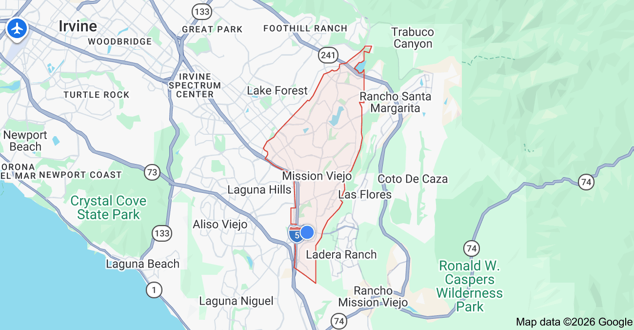
Each city market is placed by its approximate centre point for orientation only. No city, community or tract boundary is drawn, because verified boundary geography is not yet stored in the research database.
City markets
City Market
Mission Viejo
City Intelligence Published
Mission Viejo is one of South Orange County's foundational master-planned cities, but it isn't one uniform housing market. Homes change meaningfully depending on the development era, community, elevation, lake relationship, lot, HOA structure, school district, street position, and floor plan. This page establishes the citywide framework as we build out deeper guides for specific communities, tracts, and micro-locations.
Geographic structure
3 communities · 7 villages
Where it sits
Inside the market
Mission Viejo Color-Coded Community & Tract Map
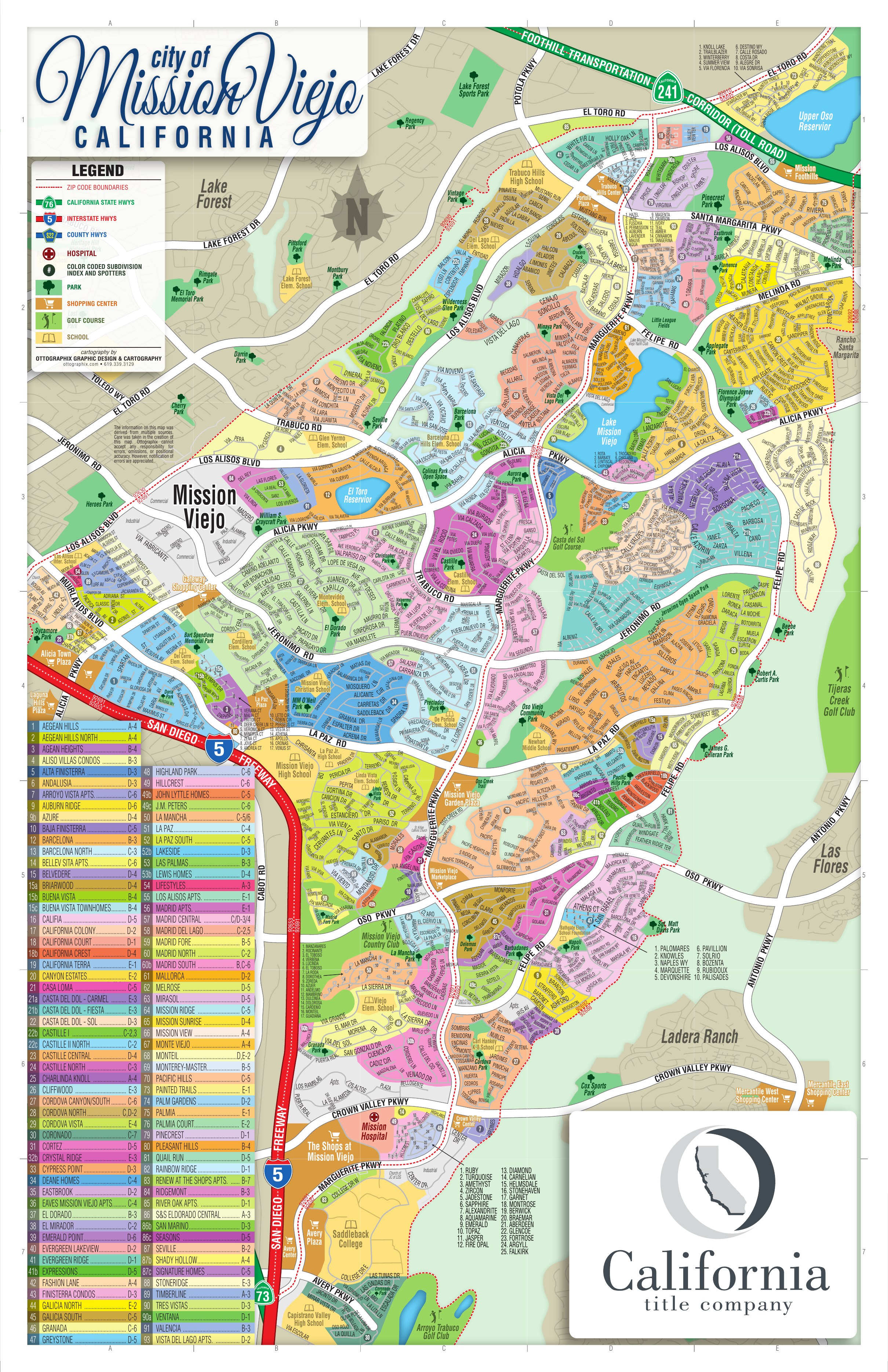
Inside Mission Viejo
These areas are listed from the research hierarchy. They are not drawn on the map, because no verified boundary geography is stored for them.
Communities (3)
- PalmiaCommunity · 1
- Lake Mission ViejoCommunity
- Casta del SolCommunity
Villages (7)
- Original / West Mission ViejoVillage · 5
- Central Master-Plan CoreVillage · 14
- Lake Mission Viejo BasinVillage · 8
- North / Northeast & Late BuildoutVillage · 5
- Canyon Crest / Northern Executive HousingVillage · 2
- Pacific Hills / South-East Mission ViejoVillage · 6
- Southern Established / Country Club AreaVillage · 6