Geography
South Orange County Visual Atlas
Understand where each market sits, how the region connects, and how the city-level research breaks into communities, villages and tracts. The map is an orientation tool. The research pages remain the source for the deeper market intelligence.
Each city market is placed by its approximate centre point for orientation only. No city, community or tract boundary is drawn, because verified boundary geography is not yet stored in the research database.
City markets
City Market
Lake Forest
City Intelligence Published
Lake Forest isn't one uniform housing market. It layers 1960s and 1970s lake-oriented neighborhoods, dense established central tracts, 1990s foothill master plans in Foothill Ranch and Portola Hills, and a newer generation that includes Baker Ranch, Portola Center, Serrano Summit, and The Meadows. The market only really makes sense when you look at the specific tract, housing era, association structure, tax profile, and micro-location.
Geographic structure
11 communities
Where it sits
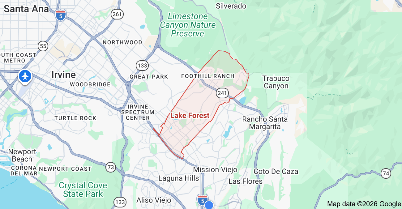
Inside the market
Lake Forest Subdivision Map
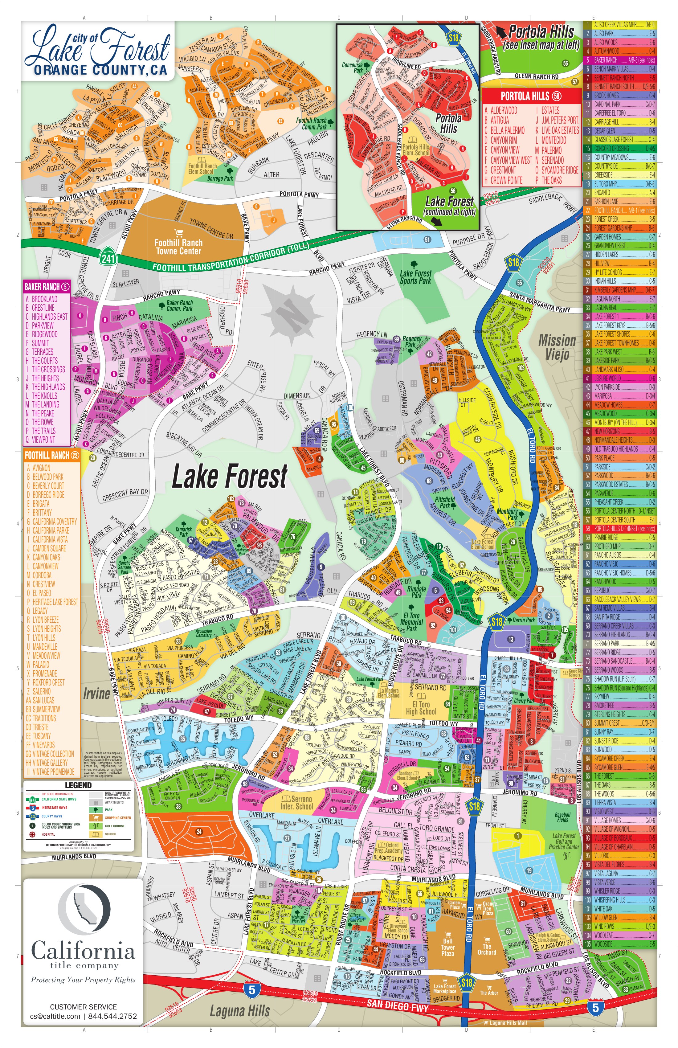
Inside Lake Forest
These areas are listed from the research hierarchy. They are not drawn on the map, because no verified boundary geography is stored for them.
Communities (11)
- Original / Central Lake ForestCommunity · 12
- Independent Established CommunitiesCommunity · 6
- Foothill RanchCommunity · 35
- Portola Hills (Original)Community · 16
- Portola Center / IronRidgeCommunity · 7
- Baker RanchCommunity · 17
- Serrano SummitCommunity · 6
- The MeadowsCommunity
- Modern InfillCommunity · 6
- El Toro / I-5 CorridorCommunity
Local market terminology
Names in common local use that are not canonical subdivisions of Lake Forest.
- Lake 1 - Lake Forest Community Association
- Lake 2 - Lake Forest II Master Association