Geography
South Orange County Visual Atlas
Understand where each market sits, how the region connects, and how the city-level research breaks into communities, villages and tracts. The map is an orientation tool. The research pages remain the source for the deeper market intelligence.
Each city market is placed by its approximate centre point for orientation only. No city, community or tract boundary is drawn, because verified boundary geography is not yet stored in the research database.
City markets
City Market
Aliso Viejo
City Intelligence Published
Aliso Viejo is a compact, heavily master-planned city with an unusually mixed housing stock. City-cited state data from January 2022 put the breakdown at 34.9% single-family detached, 25.9% single-family attached, and 39.2% multifamily. Value moves with the specific housing product, development era, elevation, HOA structure, road exposure, and open-space position. There's also a clear distinction between the original 1980s and 1990s neighborhoods and later developments like Westridge, Glenwood, and Vantis.
Geographic structure
12 communities
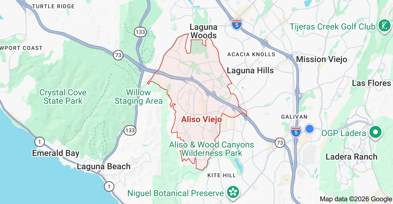
Where it sits
Inside the market
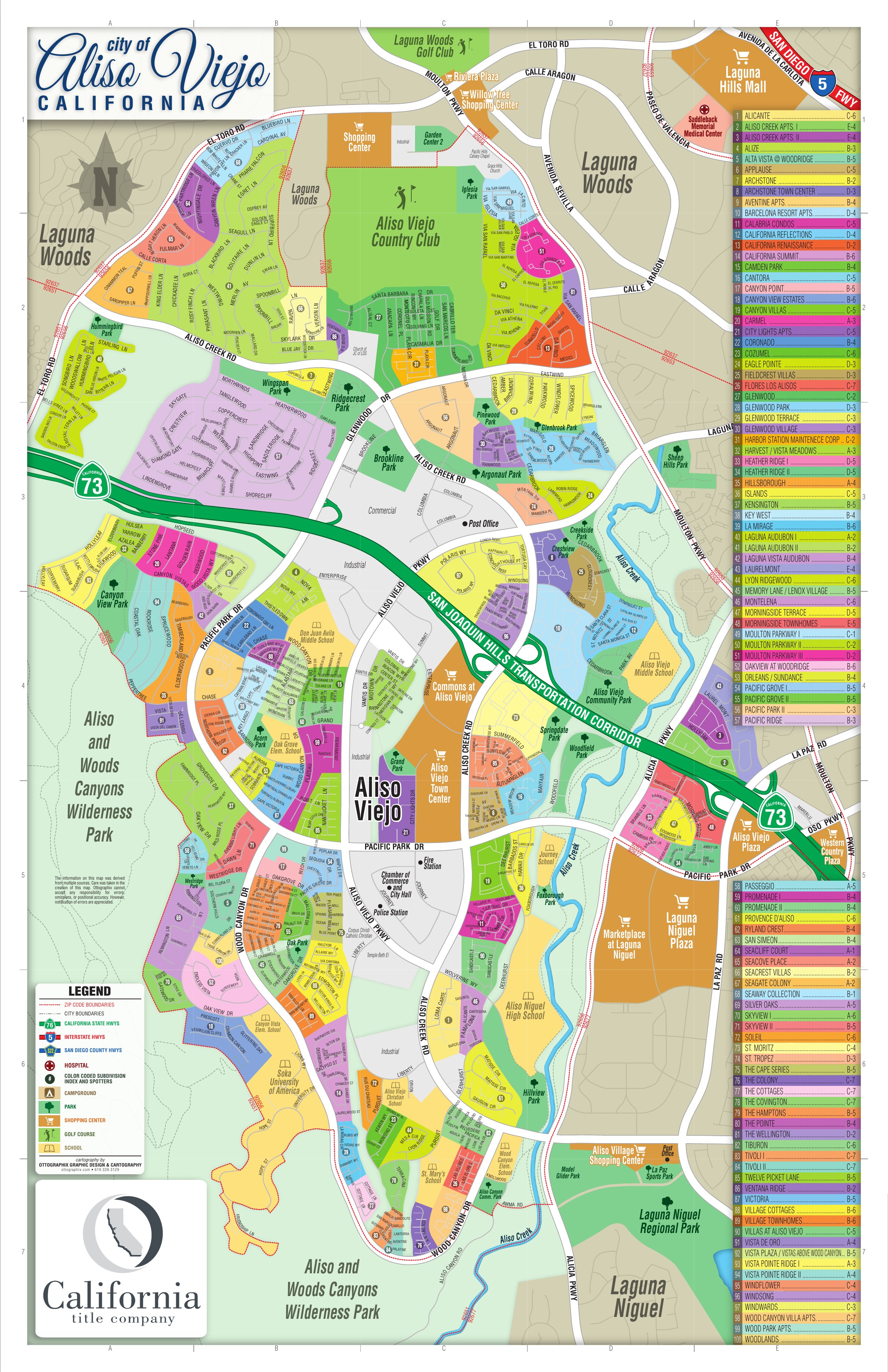
Aliso Viejo Subdivision Map
Inside Aliso Viejo
These areas are listed from the research hierarchy. They are not drawn on the map, because no verified boundary geography is stored for them.
Communities (12)
- WestridgeCommunity · 15
- GlenwoodCommunity · 5
- VantisCommunity · 4
- Laguna Audubon ICommunity · 6
- Laguna Audubon IICommunity · 5
- Pacific RidgeCommunity · 6
- Central Aliso ViejoCommunity · 32
- Eastern and Moulton CorridorCommunity · 10
- Southern and Laguna Niguel BorderCommunity · 12
- Ventana RidgeCommunity
Local market terminology
Names in common local use that are not canonical subdivisions of Aliso Viejo.
- Aliso Viejo Community Association
- Town Center
- Canyon Vistas